neoMapping technologies.

Crafting Tailored Software for Your Business
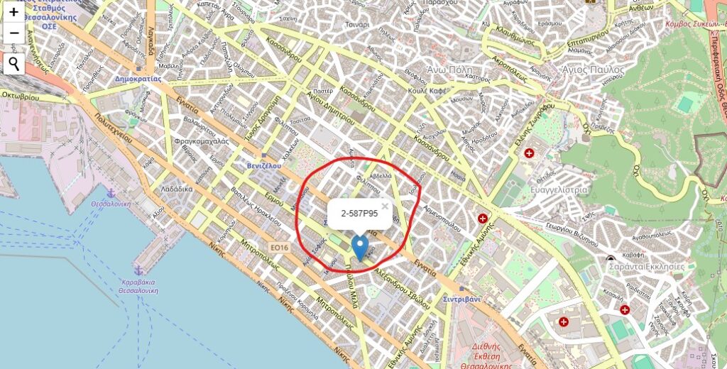
At neoMapping, we specialise in delivering bespoke software solutions that can help you improve maps. We also offer a solution that can create a postcode like code with 10m2 accuracy within a standard length of 7 characters. Our team of experienced software developers work closely with you to understand your business objectives and create technology that drives efficiency.
Empowering Businesses with Cutting-Edge mapping Technology
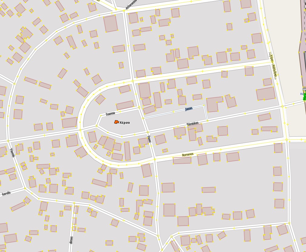
Our software runs on the Cloud so you can be sure your solution will perform when it is needed and it can always be upscaled if necessary. neoMapping leverages the latest advancements in mapping technology to create transformative solutions. We specialise in maps and more specifically in assigning names to streets in an automated way. We can also allocate numbers to properties if absent.
10M2 System and Postcodes
Our 10M2 system with 10 m2 accuracy can be used for example by emergency services or rolled out as the country’s secondary, more accurate, postcode.
The postcode system allows for postcodes to be accessed on a website or in a dedicated app on Android, iOS, Windows and downloaded on a user’s mobile or tablet.


Our Team
Our talented team of developers and project managers are dedicated to delivering exceptional results for our clients. At neoMapping, we believe that great software is the result of a collaborative and transparent process. We work closely with our clients to ensure that every project meets their expectations and delivers value.
Absence of street names
Unfortunately a big majority of villages in many countries do not have street names. This is not limited to villages but towns and cities sometimes don’t have street names.
This has practical negative consequences not only for the residents but for the economy as a whole.
It negatively affects areas such as:
- Economic development
- Transportation (post office, taxi, etc.)
- Health care
- Tourism
- Agriculture
- Rural development in general
Absence of street names and natural disasters
Natural disasters unfortunately do happen and each country, local authority and neighbourhood must be prepared. The existence of road names, even if only digitally, can play a crucial role in terms of prevention and practical assistance by the government following the disaster.
To make those preparations and/or provide that assistance, the government needs to know exactly where the risks are or where the disaster has taken place.
Without residents being able to give their exact location to the emergency services, it can literally cost lives in cases of emergencies such as flooding, fires, earthquakes, and tornadoes. A swift reaction is crucial.
Our 10M2 mapping system can be deployed for emergencies as a first step, as it allows a location/ house to be “put on the map” straight away without the need for a street name or house/building number. It can even be in the middle of a field. Residents can send their 7 or 8 digit code to the emergency services, which can then locate them accurately.


